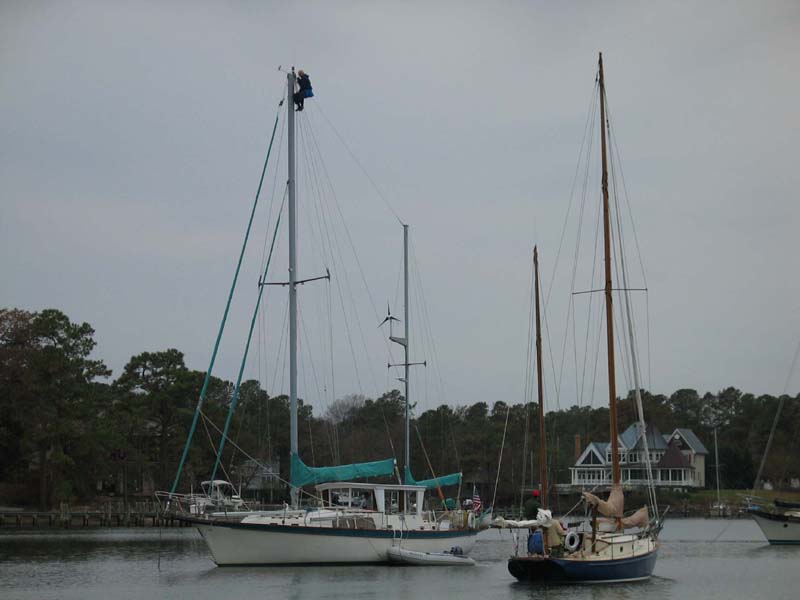
After leaving Solomons we went about 57 nautical miles to Jackson Creek, near Deltaville, VA. We anchored in 10 feet of water and saw a sailor doing some mast repairs. He was up there for almost an hour!
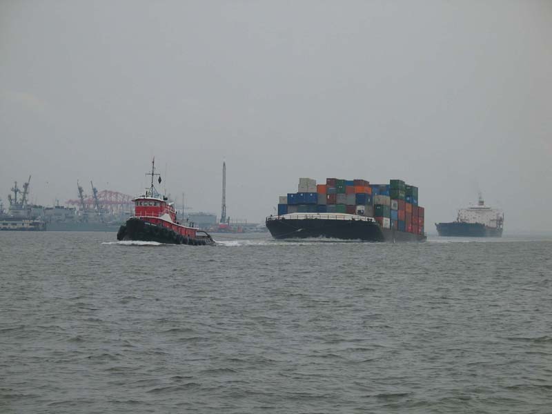
The next morning we had eggs and toast and got underway for Norfolk, VA. Norfolk is the main HQ for the US Navy, and there is a lot of shipping activity there as well. The naval yards go on and on. The weather began to worsen as well...
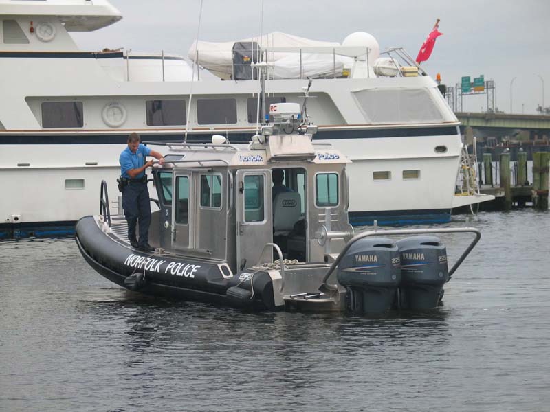
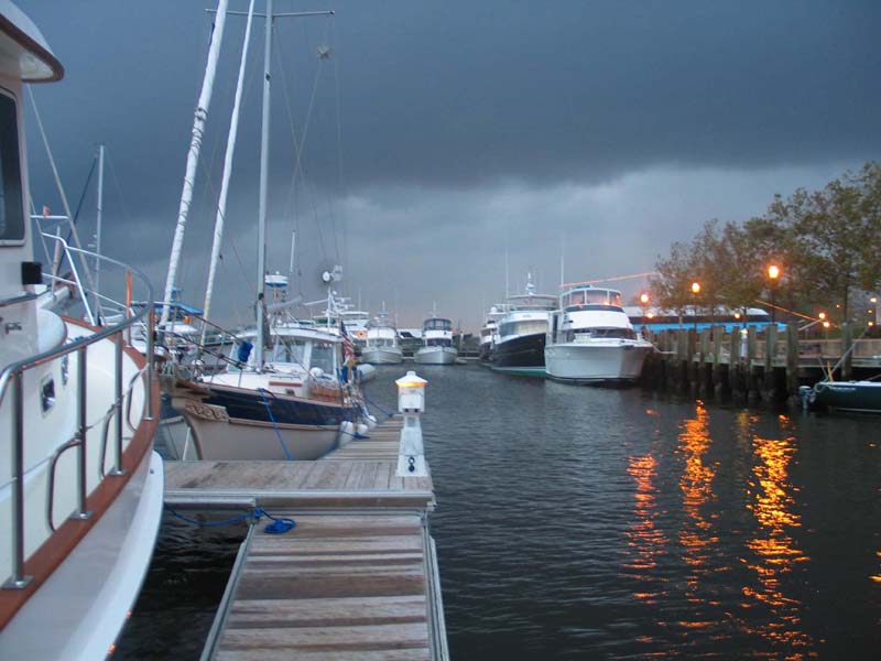
We arrived mid afternoon at the Waterside Marina in Norfolk. There were a lot of patrol boats in the area. There were Coast Guard boats, Navy boats, Pilot boats, and Norfolk Police boats, such as the one below.
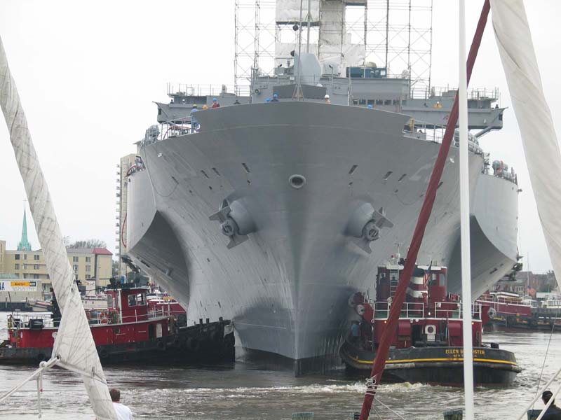
While in our slip we watched this large Navy ship be lowered into the water from drydock. It took 5 large tugs and 3 small patrol boats to get the job done.
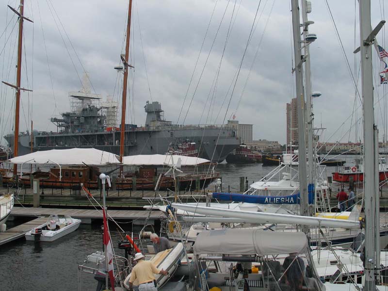
This Navy ship made our 39 foot vessel seem pretty small.
The night of the 27th the storm hit. We stayed in port all day as a result of the incoming storm. This was the last place that had a bookstore within walking distance of the boat, so Erich and I stocked up.
Book Note: I got a book on Roanoke, Umberto Eco's The Name of the Rose, and a Dover book about the cultural life of the American colonies. Erich bought Kitchen Confidental by Anthony Bourdain and The Maine Reader.
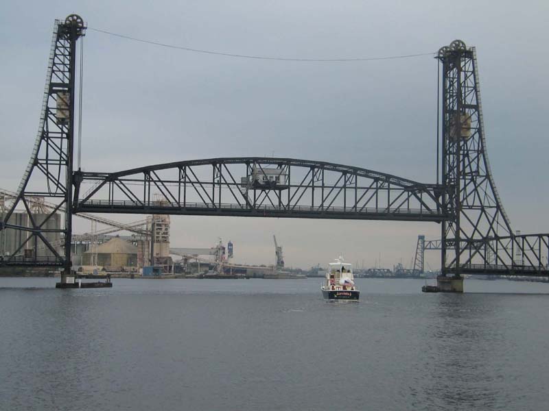
The next morning we left Norfolk and officially began the Intercoastal Waterway or ICW. Norfolk is mile zero. Here we follow a boat from Maine named "Jeremiah" through the first bridge of the ICW. This is the first of many bridges that we transited. Some bridges are closed during rush hours, some open hourly, some every half hour, and some on demand.
Cruising Note: I quickly learned that bridges have to be planned for. If you arrive at an hourly bridge five minutes late you have to wait an hour before the bridge opens again. The bridges are always 2-5 minutes late in opening. The operators are not very friendly. One lady called on her radio asking when the bridge would open, and the operator replied "Groundhog Day 2008". To make matters worse, the latest nautical charts often are inaccurate in reporting bridges: many bridges on the charts are no longer there, or have been replaced with higher bridges. Skipper Bob is the up-to-date answer to your bridge questions.
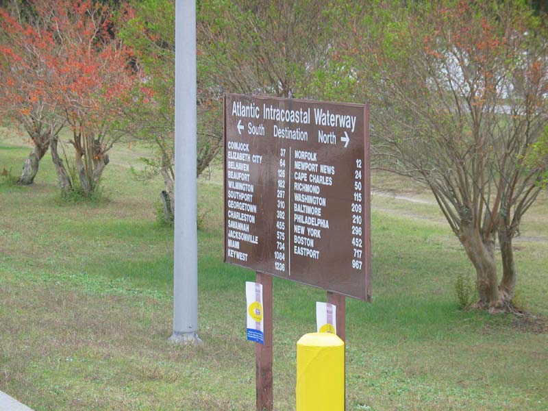
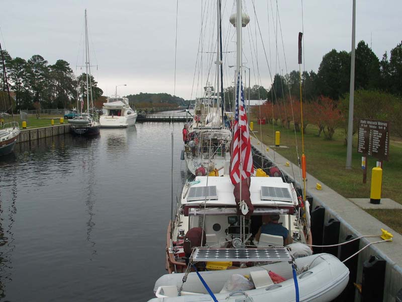
Here is a sign listing how far everything is from the Great Bridge Lock. Annoyingly, all ICW distances are measured in regular statute miles, not in nautical miles. We still did everything in nautical miles, which are about 15% longer than statute miles.
Here we are in the one lock of the trip. Erich says that he has been in this lock when the total rise or fall was less than a foot. Today we got a ride of almost two feet (with the difference due to tides), but it was still not as exciting as the Ballard Locks in Seattle. This lock is filled or emptied hourly.
Last updated: 2003.11.21.